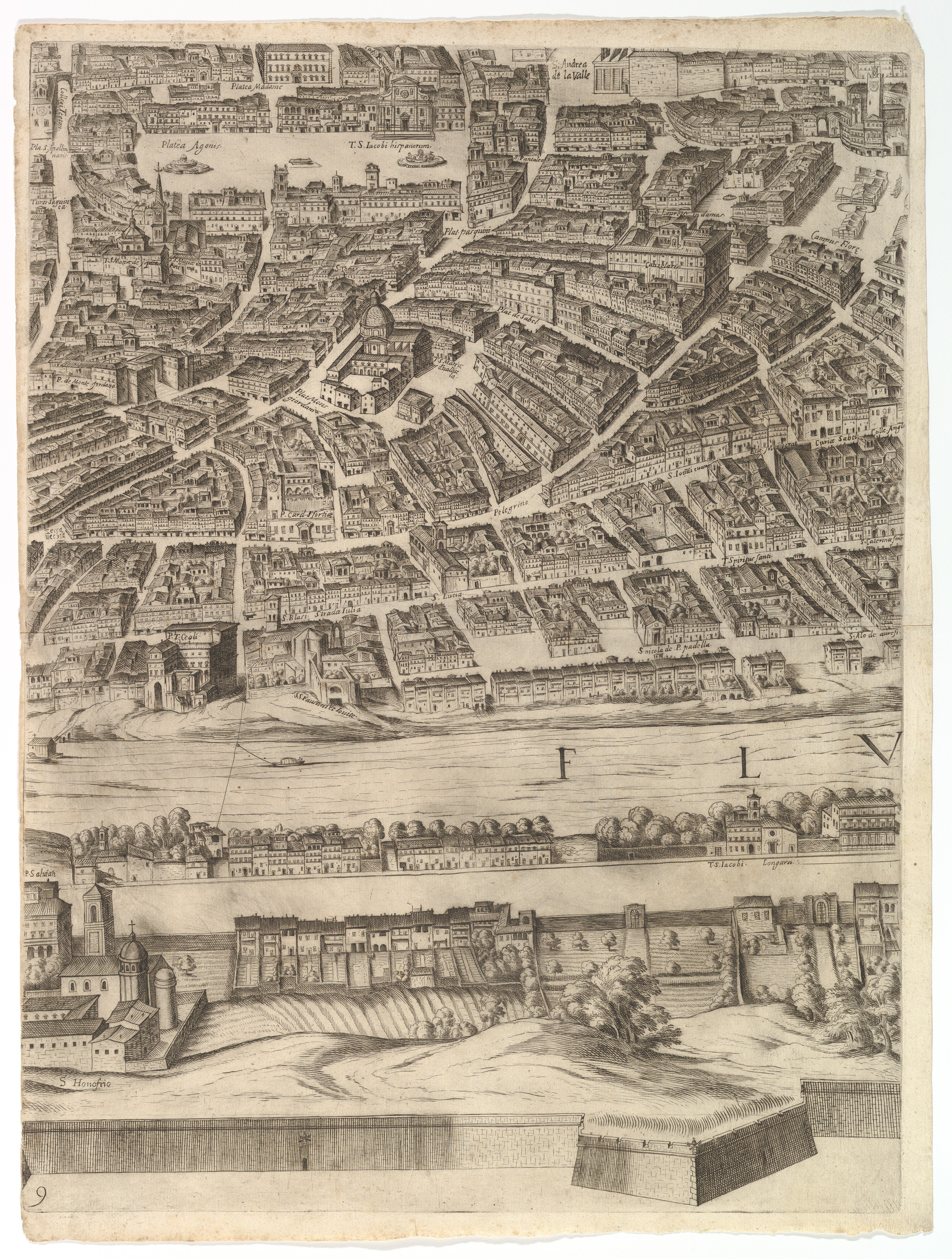
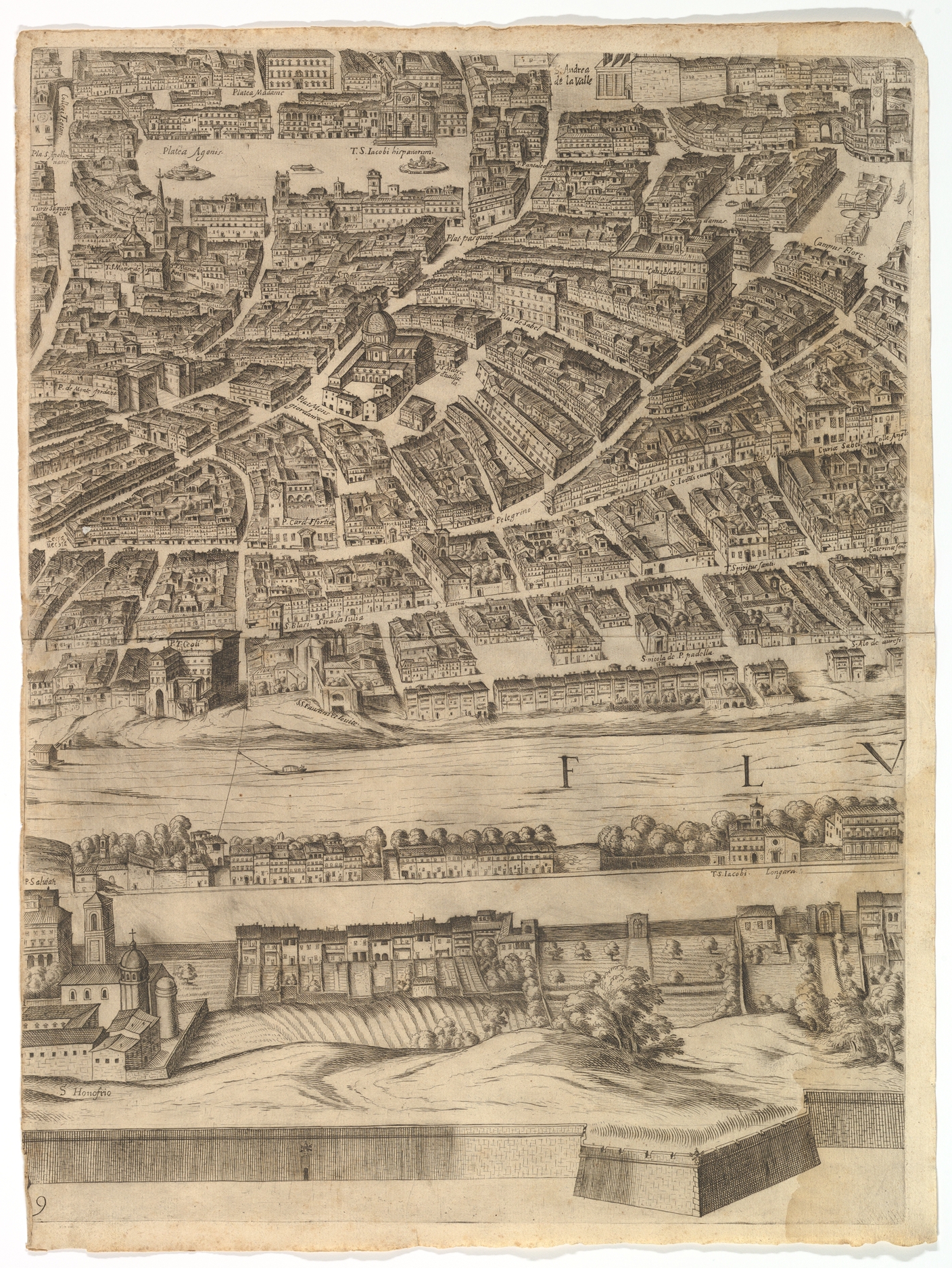
Plan of the City of Rome: sheet 9 with the Piazza Navona, the Campo di Fiore and the Sant' Onofrio
Antonio Tempesta Italian
Published by Giovanni Domenico de Rossi Italian
Dedicated to Cardinal Camillo Pamphili Italian
Not on view
Part of the lower half of the map of Rome. Depicted is a central part of the city with a view of both the left and right bank. Recognizable points in the map are the Piazza Navona, the Campo di Fiore and the Sant' Onofrio (left bank).
Due to rights restrictions, this image cannot be enlarged, viewed at full screen, or downloaded.

This artwork is meant to be viewed from right to left. Scroll left to view more.


