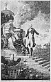
The Isles of Montreal as they have been Survey'd by the French Engineers, from the London Magazine
London periodicals regularly published maps of Britain's American colonies during the French and Indian War (1754-63), as British and French armies vied to gain control of the Eastern Great Lakes and Canada. This early view of the area surrounding Montreal was published in the London Magazine and shows travel routes, cities, rivers, churches, and the topography of Montreal and surrounding islands.
Artwork Details
- Title: The Isles of Montreal as they have been Survey'd by the French Engineers, from the London Magazine
- Printer: Robert Baldwin, London
- Date: January 1761
- Medium: Etching and engraving
- Dimensions: Image: 9 7/8 × 13 3/4 in. (25.1 × 34.9 cm)
Sheet: 10 1/8 × 14 1/4 in. (25.7 × 36.2 cm) - Classification: Prints
- Credit Line: Gift of Charles Allen Munn, 1924
- Object Number: 24.90.1299
- Curatorial Department: Drawings and Prints
More Artwork
A slider containing 5 items.
Press the down key to skip to the last item.
Press the down key to skip to the last item.
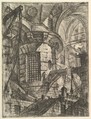
Giovanni Battista Piranesi
Publisher Giovanni Bouchard
ca. 1749–50
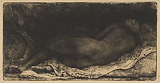
Rembrandt (Rembrandt van Rijn)
1658
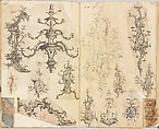
Gideon Saint
ca. 1760
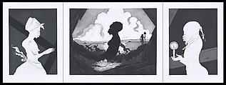
Kara Walker
Printer Gregory Burnet
2017
Multiple artists/makers
1799
Research Resources
The Met provides unparalleled resources for research and welcomes an international community of students and scholars. The Met's Open Access API is where creators and researchers can connect to the The Met collection. Open Access data and public domain images are available for unrestricted commercial and noncommercial use without permission or fee.
To request images under copyright and other restrictions, please use this Image Request form.
Feedback
We continue to research and examine historical and cultural context for objects in The Met collection. If you have comments or questions about this object record, please contact us using the form below. The Museum looks forward to receiving your comments.