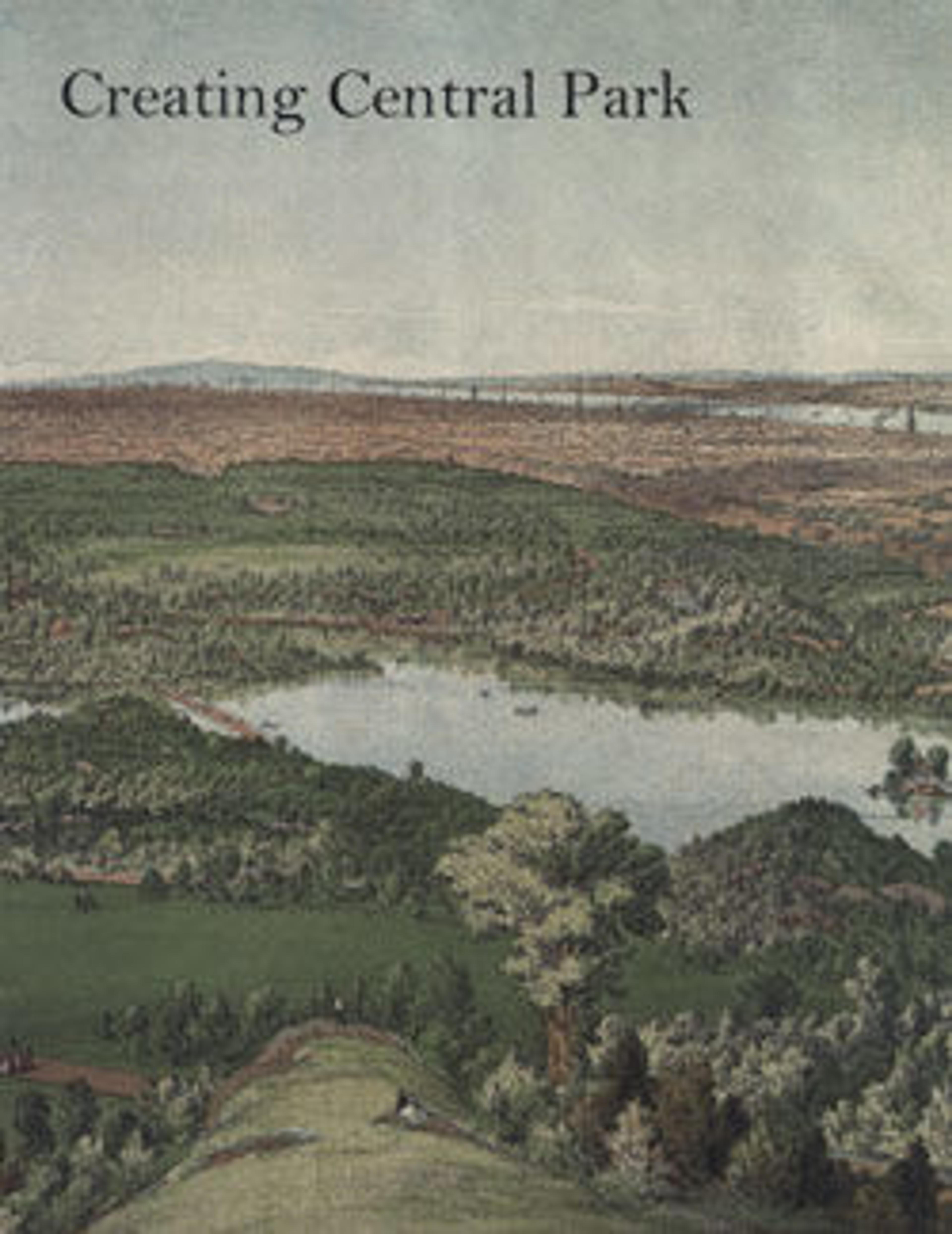
Topographical Map of the City and County of New-York and the Adjacent Country
This proof impression includes the center of a large topographical map of Manhattan published in 1836 and encompasses the area between 19th and 133rd Streets, showing the City grid's rapid uptown advance. The cross streets are now fully graded and paved to about 23rd Street, and all traces of the original topography have been obliterated as far north as 30th Street and the beginnings of Murray Hill. The map depicts but does not highlight the uptown public squares that were so prominenet on the Commissioners' Plan. An unknown hand used a tan wash to delineate the boundaries of the future Central Park as it would be configured between 1853 and 1859.
Artwork Details
- Title: Topographical Map of the City and County of New-York and the Adjacent Country
- Artist: Cartographer David H. Burr (American, active, 1829–50)
- Publisher: J. H. Colton & Co. (New York, NY)
- Date: 1836–ca. 1858
- Medium: Engraving with additions in wash and black chalk
- Dimensions: sheet: 33 1/4 x 25 3/8 in. (84.5 x 64.5 cm)
- Classification: Prints
- Credit Line: Harris Brisbane Dick Fund, 1924
- Object Number: 24.66.1492
- Curatorial Department: Drawings and Prints
More Artwork
A slider containing 5 items.
Press the down key to skip to the last item.
Press the down key to skip to the last item.
Multiple artists/makers
1846
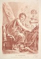
Gilles Demarteau
After François Boucher
Multiple artists/makers
1875
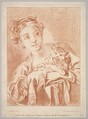
Louis Marin Bonnet
After François Boucher
1769
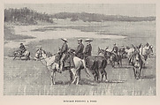
Frederic Remington
Publisher Harper & Brothers
1895
Related Content
 Free to download
Research Resources
The Met provides unparalleled resources for research and welcomes an international community of students and scholars. The Met's Open Access API is where creators and researchers can connect to the The Met collection. Open Access data and public domain images are available for unrestricted commercial and noncommercial use without permission or fee.
To request images under copyright and other restrictions, please use this Image Request form.
Feedback
We continue to research and examine historical and cultural context for objects in The Met collection. If you have comments or questions about this object record, please contact us using the form below. The Museum looks forward to receiving your comments.